About
|
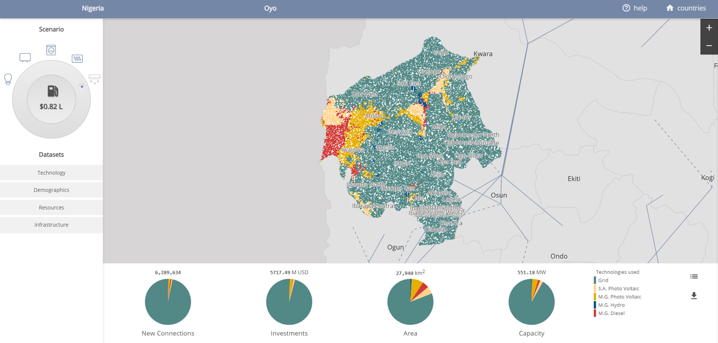
Geospatial analysis is an effective tool supporting the planning, implementation and monitoring of basic services delivery in developing countries, as reflected by an increase in use in a number of geographies and sectors. Within the energy sector, the use of GIS data and associated analytical tools can be beneficial in conducting strategic planning as well as prioritizing and rationalizing energy infrastructure related investments. The World Bank, ESMAP and KTH Division of Energy Systems Analysis have developed National High Resolution Dynamic Least Cost Options Plan for Universal Access to Electricity in Nigeria, Tanzania and Zambia. The web-based open source application presented here allows the users to select scenarios based on electricity consumption targeted (Tiers of access) and spatially related fuel costs towards identifying the least cost electrification technology for every settlement at a 1 by 1 km resolution.
|


